While many reservoirs measure level and flow, few consider the full topography of underwater sediments that accumulate over time, reducing storage capacity and impacting water quality. LG Sonic uniquely provides bathymetry analysis through remote sensing to determine water depth and topography of underwater terrain, including both historical data and predictions of future sediment accumulation. This provides data to inform accurate volume estimation, sedimentation monitoring, infrastructure maintenance, optimized water quality management, climate change resilience, hydroelectric power generation optimization, and enhanced emergency preparedness.
Water utilities can, therefore, plan water distribution, allocate resources effectively, and assess the overall health of the reservoir to optimize water extraction rates, ensuring a sustainable supply without compromising reservoir health. Furthermore, remote sensing allows for catchment data to confirm source volumes available to recharge primary aquifers for long-term stability of raw water volumes. Beyond volume, understanding chemical flux and deposition within sediments is essential to predict concentrations of bioavailable nutrients, accumulation, and release of legacy nutrients. This is vital for the control of harmful algal blooms, allowing targeted sediment removal and ultrasound treatment to restrict blooms from migrating through the water body.
Reservoir Sedimentation Monitoring
Understanding the topography of the reservoir allows utilities to monitor sedimentation rates, water quality, and local variations in deposition to proactively manage and dredge as required. Dredging activities can, therefore, be targeted to specific areas to optimize the effectiveness of sediment removal while reducing operational costs. When dredging occurs close to an abstraction point, the water can be unusable for some time, impacting the ecosystem. By removing material from only those areas that require such action, it allows for the minimum disturbance to aquatic plants, invertebrates, and fish.
Variations in depth and underwater features influence water circulation patterns and the distribution of legacy nutrients and contaminants. Furthermore, the bacterial community within sediment is a delicate balance between aerobic and anaerobic organisms. When sediment is turned over, it can cause significant algal blooms, while nutrients such as ammonium and phosphate produced by the sediments, fuel further harmful algal blooms, whilst discharge of trace metals such as iron and manganese can negatively affect drinking water treatment processes, increasing the need for chemicals and raising the cost of the treatment.
Infrastructure Maintenance and Planning
Bathymetric surveys give key information for the maintenance and planning of infrastructure within water reservoirs. Dams, intake structures, and other submerged facilities can be accurately assessed for wear and tear. Identifying possible problems in an early stage enables utilities to plan maintenance activities efficiently, decreasing the risk of costly repairs and ensuring the longevity of critical infrastructure.
Climate Change Resilience
With the growing consequences of climate change, water utilities face issues such as altered precipitation patterns and rising temperatures. Bathymetric measurements contribute to climate resilience by giving information about how these changes may alter reservoir dynamics. Utilities can adjust their management strategies to provide a consistent water supply, even when environmental conditions change.
Hydroelectric Power Generation Optimization
Many water reservoirs have dual purposes, including hydroelectric power generation. Bathymetric measurements help utilities to optimize power generation by understanding the water depth variations and the potential energy that can be harnessed. This data allows for efficient turbine operation and assists utilities in making informed decisions about energy production, contributing to a more sustainable and reliable power supply. Imbalances to turbine blades can be caused by silica, organics, and algal loads. These deposits cause reduced efficiency and increased maintenance, wear, and damage.
Enhanced Emergency Preparedness
In the event of natural disasters, landslides, or dam breaches, topography charts allow proactive modelling of scenarios for effective evacuation plans to enhance public safety while minimizing the impact of unforeseen events on water supply systems.
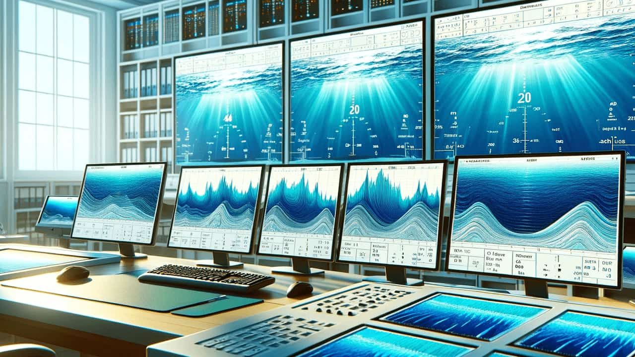
Measurement Method
Traditional methods like sonar measurements and in-situ surveys provide accurate results but are often costly and time-consuming. LG Sonic uses Satellite-Derived Bathymetry (SDB), a cost-effective and fast alternative, utilizing satellite imagery to evaluate water depths and topography. Sentinel and Landsat services profile depths up to 20 meters. Leveraging SDB, bathymetry is appraised without the need for in-situ measurement. Multi-temporal analysis is also possible, depending on the specific site’s water quality. This is an effective tool for identifying bathymetry and topographic variability and can provide valuable insights about the reservoir.
As technological advancements using remote sensing continue to refine bathymetric measurement techniques, water utilities have an unprecedented opportunity to leverage tools such as SDB for more effective and environmentally conscious water resource management. With very large bodies of water in the UK, such as Windermere and Lough Neagh, monitoring of the sediment dynamics would be particularly useful to understand impacts on water quality and the ecosystem.