In short
- Today, there are plenty of methods to track algae blooms and improve water quality. Remote sensing is one of them;
- Large, inaccessible, or even dangerous areas of the Earth suddenly become accessible;
- This data can be used for future comparisons of the same geographical area.
Space can be a valuable tool for environmental monitoring. Remote sensing is the process of collecting and analyzing information about objects, areas, or phenomena from a distance, typically via satellites. Similarly, satellite imagery collect pictures of the Earth from satellites orbiting our planet.
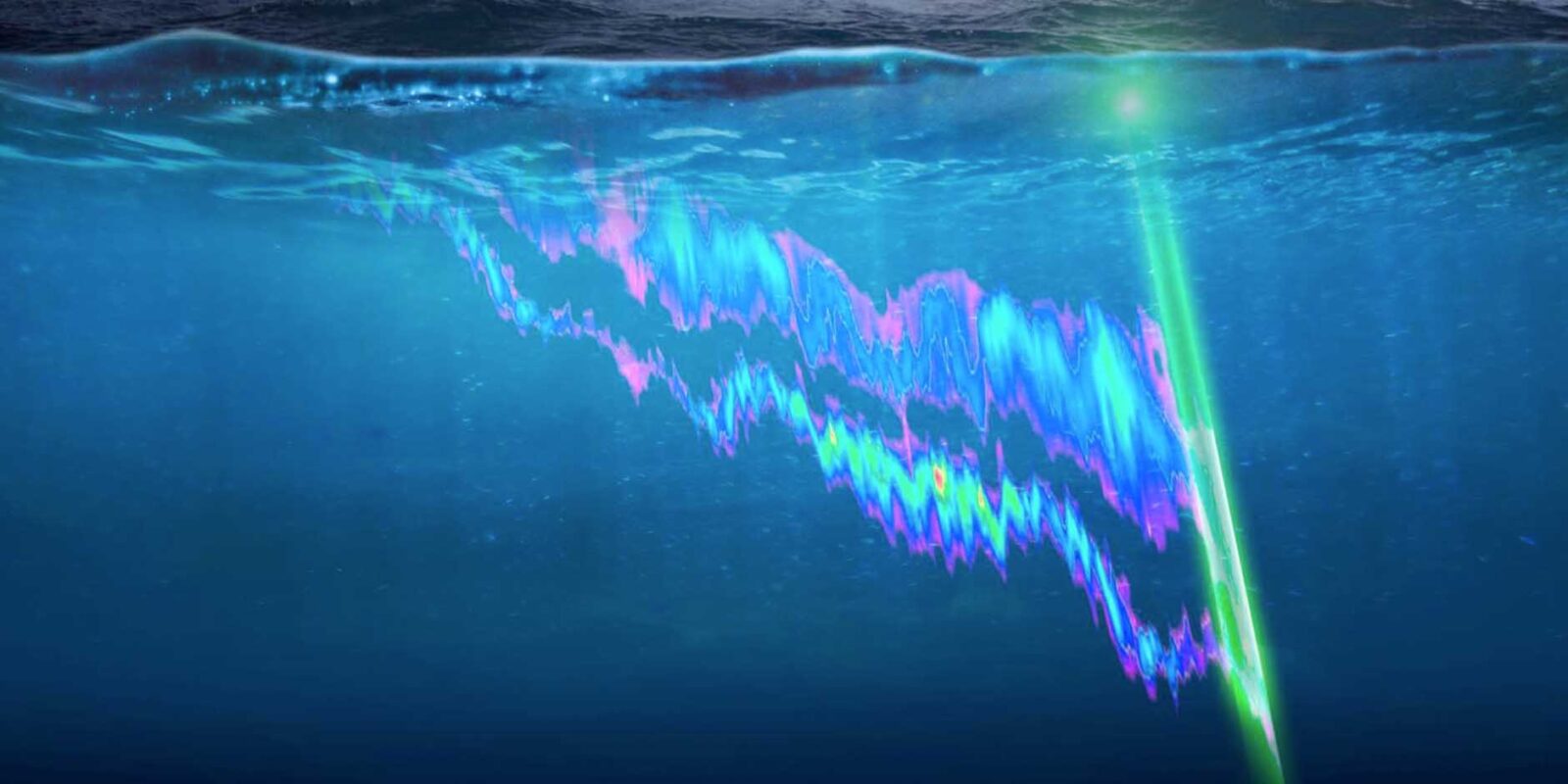
Sensing phytoplankton from space
Besides environmental applications, remote sensing can be used to monitor and predict certain water quality parameters over time. Examples include turbidity, temperature, and chlorophyll-a. We can use satellite data to examine drinking water resources, public health, and fisheries.
We can also use satellite imagery to monitor the growth and spread of algae in inaccessible areas. Recently, this kind of data has “proven fundamental to providing a global view of phytoplankton and their role in, and response to, climate change.”
Phytoplankton (or suspended algae) are the main source of organic matter that supports food webs in freshwater ecosystems. They rely on nutrients like nitrogen and phosphorus to grow. However, an excess in nutrient supply accelerates the eutrophication process, and the rapid accumulations of phytoplankton severely affect water bodies used for drinking and recreational purposes. These events are called blooms.
Blooms deteriorate water quality, cause unpleasant odors and taste, and lower oxygen levels. They can have adverse effects on aquatic organisms, animals, and people. In freshwater bodies, the most widespread bloom formers are blue-green algae (also known as cyanobacteria).
To maintain a high quality of (drinking) water, it’s essential to control the growth and spread of cyanobacteria.
The value of remote sensing
The European Space Agency released satellite pictures of algal blooms suffocating the Coast of Japan. These images were taken in June 2019, approximately 130 km off Hokkaido, Japan’s second-largest island. The pictures show dense concentrations of algae stretching over 500 km across and 200 km wide.
This example highlights the value of remote sensing for coastal water monitoring. Large, inaccessible, or even dangerous areas of the Earth suddenly become accessible. We can use this data for future comparisons of the same geographical area.
But what makes remote sensing even more useful is that we can monitor surface waters, such as lakes, reservoirs, ponds, and streams to improve water quality more effectively.
Integrated space-earth monitoring
To measure water quality, it’s not enough to just collect water samples. What proves to be most effective is a combination of methods. And this is where satellite imagery comes into play. It can be exploited by incorporating it into already-existing water quality monitoring techniques.
Water characteristics differ from meter to meter. From day to day. Week to week. And so on. So, each section of a water body contains different distributions of algae, for example.
Our MPC-Buoy systems already collect in-situ water quality parameters in real-time. But we can also incorporate remote sensing to get a bird’s-eye view of large or inaccessible water bodies. This way, we can better calibrate the algorithms of our systems so that we can treat water more efficiently.
In short, satellite remote sensing in combination with in-situ water quality data gives higher spatial and temporal coverage. Combining real-time monitoring, a web-based software, and ultrasound, we offer the ultimate treatment against algae blooms.